Three Mills Island
Three Mills Island is a teardrop-shaped pocket of land surrounded by three channels of the River Lea: the Channelsea River, Three Mills Wall River and the Prescott Channel.
The plentiful supply of water made it an ideal location for watermills, and the Domesday Survey of 1086 records at least eight tidal mills on the Old River Lea and its branches.
Power was created at Three Mills by holding back the high tide within a 57-acre mill pond, which reached as far as the contemporary Lee Bridge Road. Once the tide began to ebb, sluice gates were opened by the millers, and the escaping water drove the mills’ water wheels. The mills could work up to eight hours in each of the two daily tides, making them some of London’s biggest producers of grain.
The increasing output of the mills in the area put severe demand on the flow of the waterways, so in 1743 a windmill was built just south of Three Mills to produce supplementary power when no tide was available.
Image credits:
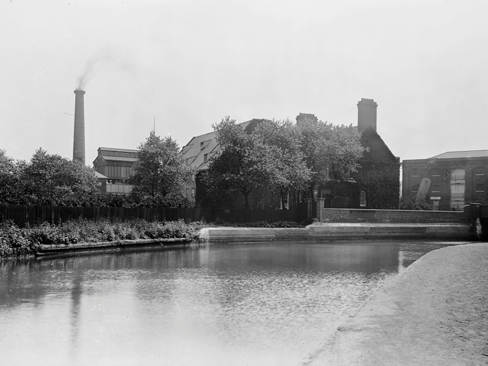
1. The Mills from the canal; provenance unknown
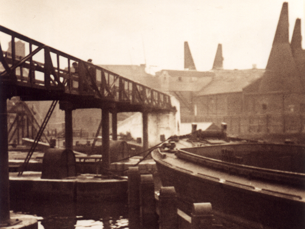
2. Unloading grain at the Clock Mill; provenance unknown
Supported by